Sixth Seismic Crew
General information about the project
- Under the directions of the company’s management, the sixth seismic crew was transferred from Diyala Governorate to Al-Anbar Governorate at the end of January 2025 to implement (2D) West Habbaniyah project, following the completion of (2D) Naft Khana project in Diyala Governorate.
- The West Habbaniyah project is a 2D project, it located approximately (66) km from Al-Rumadi city and (30) km from Hit city.
|
Program name / Country |
West Habbaniyah / Iraq |
|
Program Location / Governorate |
Al-Anbar |
|
Beneficiary / |
MDOC |
|
Implementing crew/ |
Sixth Seismic Crew |
|
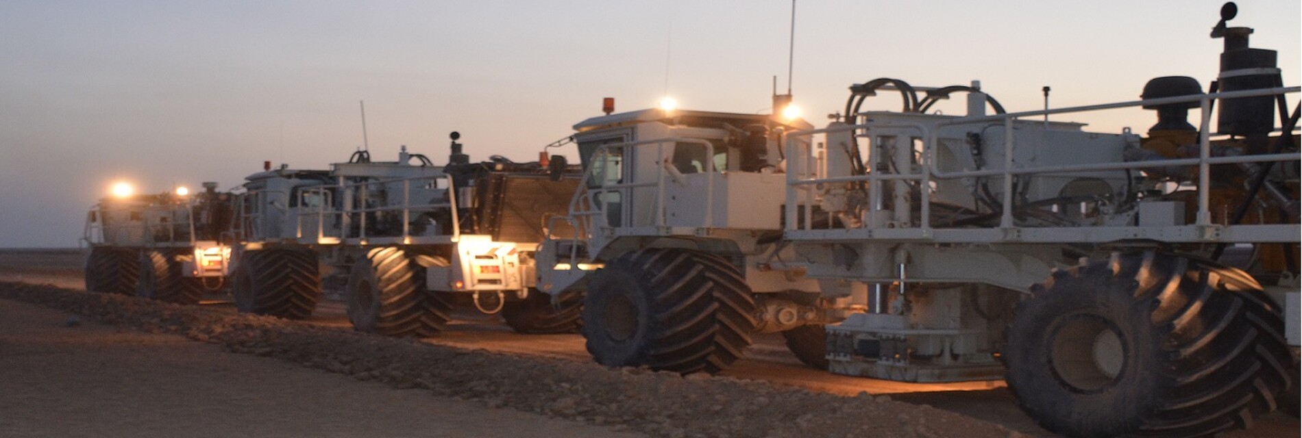
Crew Type / |
Vibratory |
|
Camp Type / |
Mobile - Caravan |
|
Survey Type / |
(2D) Vibratory |
|
Transition Date to the Program / |
24/1/2025 |
|
Field Testing Date / |
20/2/2025 |
|
Surveying Commencement Date / |
10/2/2025 |
|
Registration Start Date / |
20/2/2025 |
|
Registration End Date / |
Under implementation, the work on the program was paused due to the crew's transfer to implement Block 9. |
|
Project Size / |
6390.8 km/length |
|
Total Number of Program Points / |
127816 power point |
|
Number of Points Recorded During 2025 / |
35260 |
|
Size of Part Implemented During 2025 / |
1763 km/length |
|
Program Completion Percentage / |
28% |