The Exploratory Studies Department: A basic pillar in exploratory research
As a part of its ongoing efforts to enhance exploration capabilities in Iraq, the Geology and Geophysics Division continues making its achievements through the Exploratory Studies Department. This department works to analyze data and provide the necessary recommendations to locate the new exploratory wells and develop the geological programs. The department's efforts included active participation in several areas, including determining the locations of exploratory and evaluation wells, and preparing geological programs that contribute in increasing the country's hydrocarbon resources.
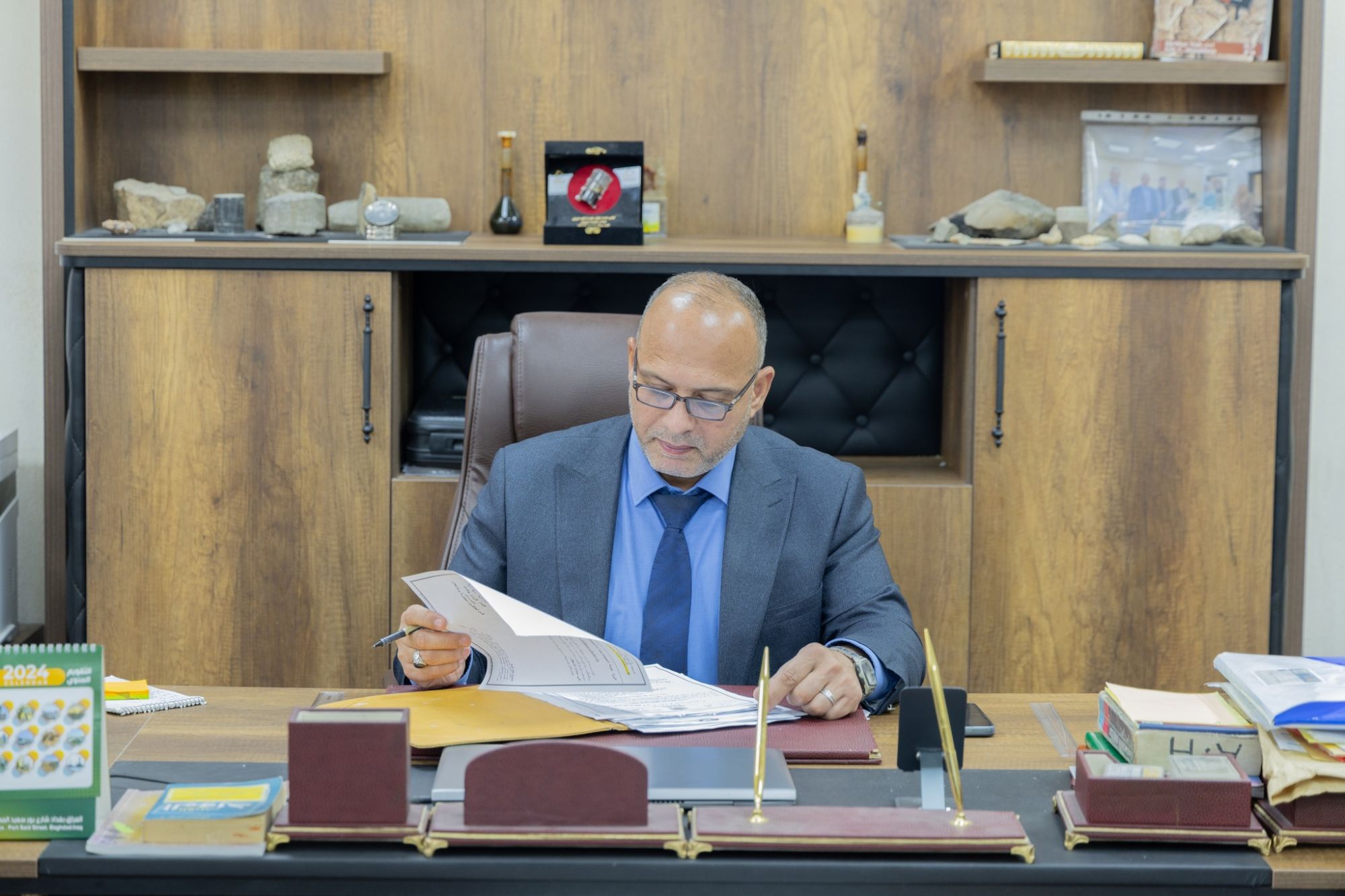
The Manager of the Division, Mr. Ali H. Hajouj, talked about the importance of these efforts in enhancing economic stability and achieving the self-sufficiency in oil sector. The Manager of the Department, Dr. Suhail O. Muhsen explained the Department’s tasks and activities:
The department is considered as the basic pillar in exploratory research, and contributes effectively in preparing the exploratory studies and implementing the necessary field programs. The department has many tasks, including preparing exploratory studies in areas not targeted by exploratory drilling, equipping the Field Operation Division in the areas in which the survey is required to be carried out, participating with the Evaluation Geology Department in completing Evaluation studies and work is moving forward with the drilling of five exploratory wells in promising areas during the current year.
The department consists of four Sections: the Geophysical Studies Section, the Integrated Geological and Geophysical Studies Section, the Remote Sensing and Geographic Information Systems Section, and the Drilling Wells Section.
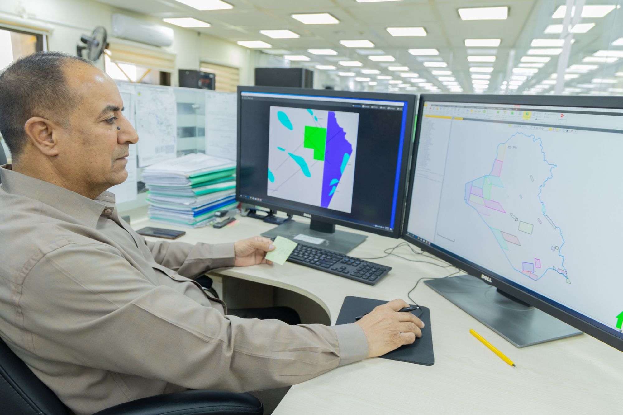
- The Geophysical Studies Section: This section works on conducting the structural seismic interpretations and analyzes the structural patterns for studied areas using modern specialized software. It also works on interpreting the effort geophysical data, such as gravity and magnetism, using GeoSoft and other supporting software.
-The Integrated Geological and Geophysical Studies Section. This section conducts the stratigraphic seismic analysis (sequential and facies) and works on fully description for the elements and operations of the petroleum system for the studied areas and determine the promising hydrocarbon, well drilling sites, and risk elements in exploratory plans. It also prepares studies of reservoir characterization to support the exploratory and development plans.
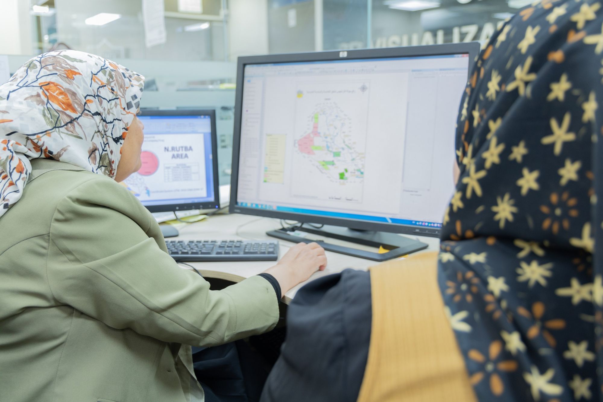
- Remote Sensing and Geographic Information Systems Section: This section works on interpreting various types of remote sensing data using (PCI, Envi, ERDAS) programs. It prepares and manages the geographic information systems database in coordination with the Information Management Department and the Field Operation Division, and produces maps for various purposes using the (ArcGIS) program.
- Drilling wells Section: It performs the duties of a site geologist at exploratory and evaluation drilling sites and completes the preparation of the final geological report. This section uses all site geological laboratory equipment and office work software, in addition to supervising and coordinating the works of the drilling sites unit, providing communication and remote follow-up, and preparing daily reports of the progress of the drilling operation and presenting to the Senior Management and specialists in the company using the (Real Time) application for following up the drilling operation from a private operations room, as long as it has this application. It prepares geological forecast programs that include the heights of geological formations, the depths of casing seats, the number of stages of drilling well, and determining the types of sensors required and the specifications of the drilling mud according to the subsurface conditions.
- Carrying out geological and engineering control operations on exploratory wells, which includes the following:
- Describing the penetrated section accurately, including specifying the types and specifications of rocks, areas of oil shows, and areas of gas emissions.
- Determining the areas of lengths and number of cores.
- Predicting geological dangerous areas, areas of high and low pressures, and areas of salt deposits.
- Determining the types of tests required, the depths of the perforation areas, and auditing field information.
- Participating in preparing the drilling program for the well in participation with the relevant parties.
- Recording drilling parameters.
- Recording and documenting drilling mud loss areas and runoff areas
- Recording the suitability of the cementation process and identifying its weak areas.
- Documenting all information sent by the site’s geologists and engineers and preparing daily reports to Senior Management.
- Preparing a general technical report about the geology of the region.
- Preparing economic feasibility studies for exploratory drilling projects
This superiority comes within the efforts of the Oil Exploration Company to enhance the country's oil capabilities and achieve its goals in increasing production and maximizing oil and gas reserves.