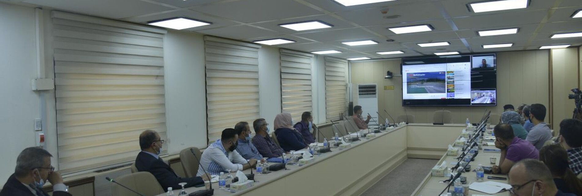
British Company "Mapping Solutions" presents LIDAR technology
The senior management of the Oil Exploration Company was keen to provide the latest technologies to keep pace with global technical developments, and to work on training employees to use them. This is what prompted international companies to present special offers for our company with the latest scientific and technical innovations.
Where the British Mapping Solutions (the plans company) presented in Nineveh hall a presentation of the LIDAR technology that can be used to survey the Topography and Geography of the land with high accuracy.
The presentation was attended by a number of directors of relevant Divisions and Departments.
LIDAR technology information is used to enhance the capabilities of 3D survey designs with high accuracy, as well as ease of obtaining a huge amount of information in a very short time, which saves months of survey work.

